Rain arrives in northern France as powerful storms to hit south
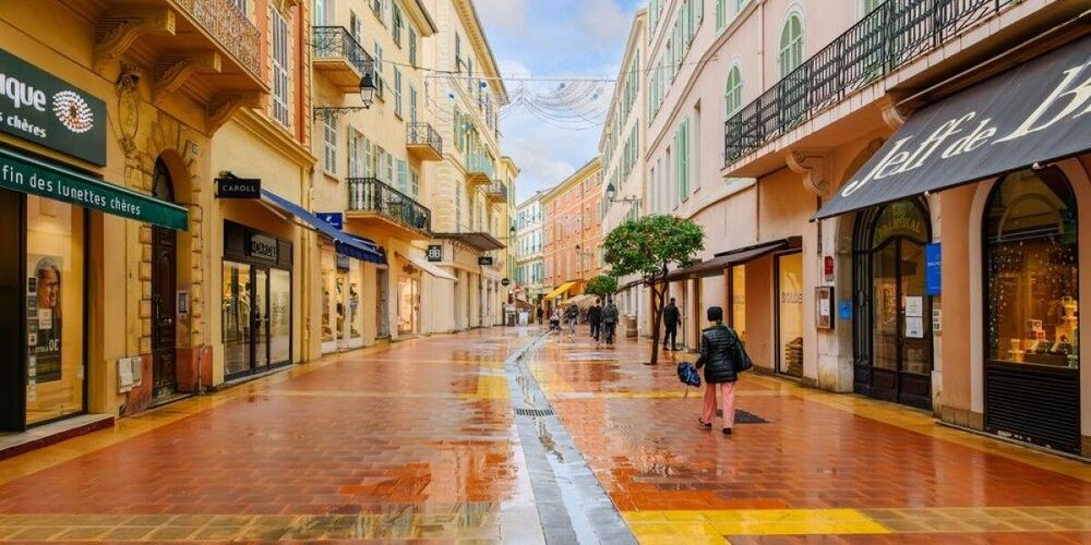
Rain returned to northern France on Wednesday morning as meteorologists warned of powerful storms set to sweep across the southern regions overnight, bringing several days of severe weather to the Mediterranean coast.
Starting early in the morning, precipitation moved inland from the English Channel and Breton coastlines, extending south to Paris, Reims, and Nantes. Temperatures in affected areas registered around 15°C cooler than in the south, with highs of 19°C in Lille (Nord) compared to 37°C near Montpellier (Hérault).
Brief relief for drought-stricken north
Morning downpours brought intense but short-lived rainfall before settling into consistent drizzle throughout the day. Showers were expected to clear along the coast by evening, though continuing well into the night further inland.
The rainfall offered welcome relief to northern departments plagued by severe drought and widespread tap water restrictions. According to La Chaîne Météo, these clouds and rain represent the first non-storm weather disturbance to reach the area since early June.
However, water authorities emphasised that a single rainfall event would not replenish critically depleted water supplies. As of early August, every mainland department in France had implemented tap water restrictions or warnings, with 67 departments under maximum crisis alert where water is allocated only for essential needs. Government officials described the 2026 drought as exceptional and unprecedented, appearing around a month earlier than usual.
Water levels remain well below seasonal averages following record-breaking summer conditions. July 2026 was France's hottest month on record and the third driest July for rainfall, with a precipitation shortfall of nearly 70 percent according to Météo-France. By mid-July, around a quarter of France's small streams had already run dry, with nearly a third of river monitoring points showing flow levels below the minimums observed over the last 20 years.
Powerful Mediterranean storms forecast
While northern areas experienced cooler, wet conditions, southern regions enjoyed calm, sunny weather during Wednesday daytime hours, experiencing the final effects of a heat dome that had covered much of France in recent days.
As evening approached, powerful storms were forecast to form in the Pyrénées before moving eastward to cover southern areas. These storms would bring brief but intense rainfall and possible hail to the Pyrénées overnight, then sweep across the Mediterranean and Massif Central, reaching the Alps by Thursday morning.
Thursday may see a powerful épisode méditerranéen deliver intense rain and storms along the southern coast. This weather phenomenon occurs when storm clouds become trapped between the sea and inland mountains, releasing large quantities of precipitation over a small area. Such events can dump the equivalent of several months of rainfall in just a few hours, with the most severe episodes releasing as much rain in 24 hours as would normally fall in an entire year.
The Mediterranean Sea has been experiencing marine heatwave conditions throughout summer 2026, with sea surface temperatures approximately 6°C above average in the Gulf of Lion off southern France as of mid-August. These exceptionally warm conditions increase evaporation rates, potentially intensifying storm systems. Recent research through the HYMEX program has shown that the intensity of épisode méditerranéen events has been increasing in recent decades due to rising temperatures.
While these phenomena typically occur three to six times per year on average, they are most common in autumn (September to mid-December) when Mediterranean Sea temperatures remain warm enough to fuel intense evaporation, making a mid-August occurrence somewhat unusual.
The storms bring risks of hail and intense electrical activity to affected areas, with forecasts indicating storms could continue into Friday across the south-east.
Weather alerts and safety precautions
Météo France currently maintained tier-two yellow warnings for storms on Wednesday, asking residents to remain vigilant. These warnings may be upgraded to tier-three orange alerts as storms progress, particularly on Thursday when more information about storm severity becomes available.
Météo-France's four-tier vigilance warning system uses colour codes—green (no warning), yellow (stay alert), orange (be extremely vigilant), and red (absolute maximum alert)—to inform the public of dangerous weather conditions at the department level.
Residents across southern France were advised to monitor weather alerts closely through the Météo France website and local weather stations. Authorities recommended preparing properties by securing outdoor furniture, parking vehicles safely away from trees, and ensuring emergency supplies are available in case of power cuts.
State forecaster Météo France noted that while uncertainty remains about whether a sixth heatwave will strike France later in the year, the coming months have a high chance of being warmer than average, with the possibility not ruled out.